LAKE OKEECHOBEE – Conditions on Lake Okeechobee continue to improve according to information shared by U.S. Army Corps of Engineers Jacksonville District Commander Col. Andrew Kelly, in a June …
Join our family of readers for as little as $5 per month and support local, unbiased journalism.
Already have an account? Log in to continue. Otherwise, follow the link below to join.
Please log in to continue |
LAKE OKEECHOBEE – Conditions on Lake Okeechobee continue to improve according to information shared by U.S. Army Corps of Engineers Jacksonville District Commander Col. Andrew Kelly, in a June 4 media conference call.
“Today the lake is at 12.78 feet (above sea level). We are looking good in terms of our recession rate,” the colonel explained.
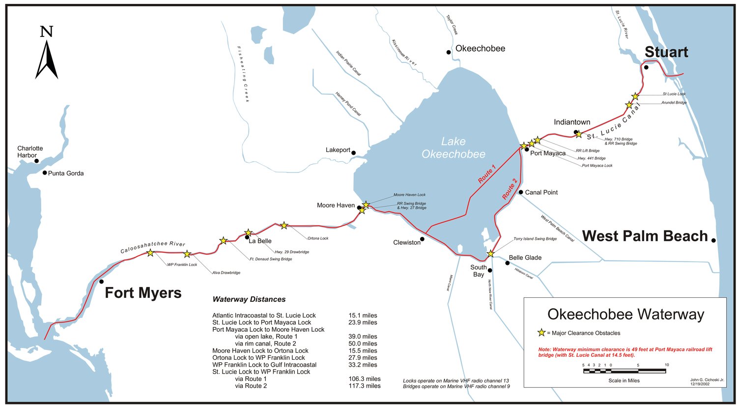
According to the Lake Okeechobee RECOVER (Restoration, Coordination & Verification) team, the most ecologically beneficial normal levels for Lake O range from 12 feet at the start of the wet season to 15 feet at the start of the dry season, and the best recovery levels (allowing the lake to recover from a tropical storm or hurricane) range from 11.5 feet to 15.5 feet.
The RECOVER team conducts scientific and technical evaluations and assessments for improving Comprehensive Everglades Restoration Plan’s ability to restore, preserve and protect the south Florida ecosystem while providing for the region’s other water-related needs.
The lake’s ecology benefits from a gradual recession rate over the dry season and a gradual rise during the wet season. For example, if the lake level falls too quickly during the dry season, the nests of endangered Everglades Snail Kites may be lost. The kites nest in the marshes above the water. If the water dries out under the nests, they are more vulnerable to predators. A rapid rise in the lake level during the wet season can damage the submerged aquatic vegetation (SAV) by blocking sunlight if the water level rises faster than the plants can grow.
IN 2020, the lake level rose after the traditional dry season should have started, as Hurricane Eta drenched south Florida in November. Heavy rainfall from Eta left areas south of the lake flooded for months, which prevented flow south from the lake until water levels there receded.
Earlier this year, water managers feared the lake could be above 13 or even 14 feet at the start of the wet season. But a drier than normal May helped push the lake level down.
"May was pretty dry, with only about 30% of normal rainfall," Kelly explained. “The lake is 1.14 feet lower than it was a month ago.
“The recession rate that we achieved in May was pretty positive,” he said.
“That’s good as we enter the hurricane season now," said Kelly.
“It looks like there is potential that we have enough storage on the lake to weather the wet season,” he said.
The flow to the Caloosahatchee River is currently limited the freshwater that river needs to stay healthy. Target flow for the Caloosahatchee remains at 1,000 cfs, measured at the Franklin Lock, which is more than 40 miles from Moore Haven, where the river connects to the lake.
Rainfall in the river basin may mean less water is needed from the lake to maintain that flow. If local basin runoff produces more than 1,000 cfs flow at the Franklin Lock, no water will be released from the lake.
Water users drawing water from the Caloosahatchee River east of the Franklin Lock may mean more flow is needed from the lake to maintain the average 1,000 cfs target. For example, on June 4, the flow from the lake at Moore Haven was about 300 cfs higher than the flow at the next water control structure at Ortona. The difference is due to water users pulling water from the river.
No water from the lake is releasing to the St. Lucie River through the St. Lucie Lock (S-80). Runoff into the St. Lucie Canal (C-44 canal) may backflow into the lake at Port Mayaca.
“When S-80 is closed, the canal levels are maintained from the lake,” said Kelly. “At periods when water is being pulled from the canal and the canal gets low, water is pulled from the lake. When rainfall raises the level of the canal, water flows back into the lake.”
Currently about 71% of all water released from the lake is going south, the colonel noted. "Water flows to the south depend on how much water is needed for the water users, whether that be utilities or agriculture or whatever, and what the stormwater treatment areas (STAs) and water conservation areas (WCAs) can handle,” he said.
The WCAs are below schedule almost across the board, said Kelly. That’s normal, he explained. “Typically in the dry season, when it’s very dry, the water levels in those conservation areas go down.”
Flow under the Tamiami Trail to Everglades National Park is about 350 cfs, he said.
Kelly said the lake is probably close to its low point for the year, based on weather forecasts and predictions based on many years of data.
“If there is a drought, could see it go down a little more,” he added.