Red tide in the Florida Gulf is fed by nutrients in runoff from all sources, according to a Nov. 4 media briefing...
Join our family of readers for as little as $5 per month and support local, unbiased journalism.
Already have an account? Log in to continue. Otherwise, follow the link below to join.
Please log in to continue |
Don't blame red tide on Lake Okeechobee.
Red tide in the Florida Gulf is fed by nutrients in runoff from all sources, according to a Nov. 4 media briefing by Col. James Booth, commander of the Jacksonville District of the U.S. Army Corps of Engineers.
According to the Florida Fish and Wildlife Conservation Commission, the red tide organism, Karenia brevis, was detected along the Florida Gulf Coast the week of Oct. 21-28 in 57 samples. Bloom concentrations (>100,000 cells/liter) were present in 18 samples: four in Sarasota County, nine offshore of Charlotte County, and five offshore of Lee County.
While the nutrient load in releases from Lake Okeechobee could be a small part of that nutrient load feeding the red tide, most of the runoff – and most of the nutrient load – is from local basin runoff.
The Caloosahatchee River is just one source of runoff that goes into the gulf. “Nutrients coming off any watershed on the west coast can feed the red tide,” said Booth. “There’s new science coming in about that.”
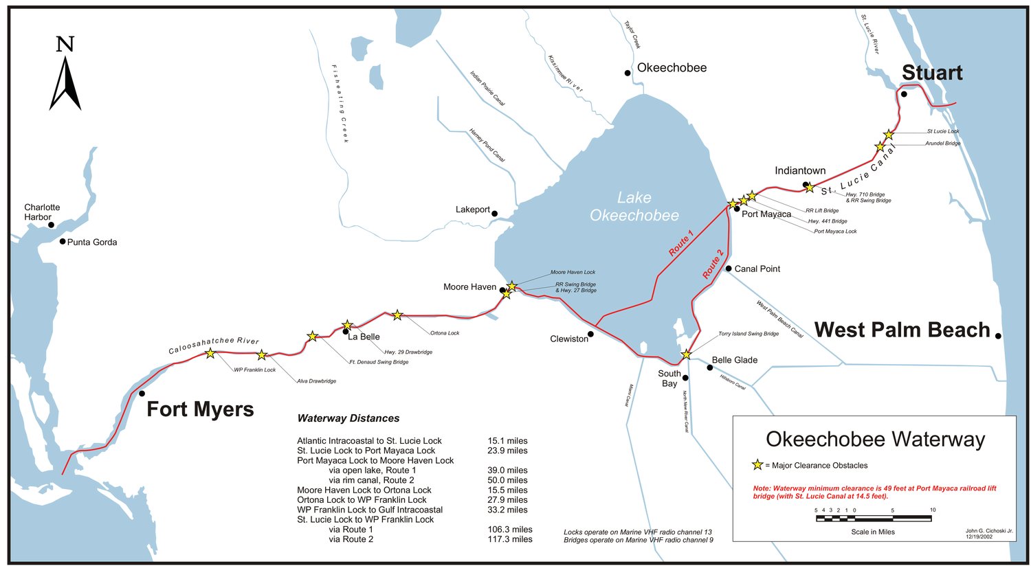
For the seven-day period ending Nov. 4, the average flow from Lake Okeechobee to the Caloosahatchee River, measured at the Julian Keen Jr. Lock in Moore Haven, was just 278 cubic feet per second (cfs). The average flow at the Franklin Lock (more than 40 miles from Moore Haven) was 1,062 cfs.
“The vast majority of the flow is coming from the watershed of the Caloosahatchee,” said Booth. USACE set the target flow at the Franklin Lock at 1,200 cfs on Oct. 29.
“Local basin runoff has been able to meet the majority of that target this last week with lake water used to supplement when needed,” said Booth.
Historically, on average, lake water accounts about a third of the water and a third of the nutrient load that goes into the Caloosahatchee River. When there is sufficient rainfall in the basin to meet or exceed flow targets, no lake water is released, but during the dry season, the river depends on freshwater from the Big O.
How much water from the lake is released to the river depends on weather conditions, Booth explained. In dry times, the river needs more flow from the lake to keep the salinity levels in the Caloosahatchee Estuary in balance. The South Florida Water Management District considers flow of less than 457 cfs (measured at the Franklin Lock) to be damaging to the estuary.
While optimal flow levels vary for different parts of the estuary, the scientists who study the estuary have provided a range of beneficial flows.
“We know that if the Caloosahatchee needs water throughout the year,” Booth said. USACE uses a system of science assessments to determine the flow.
“Scientists tell us what the beneficial flows for Caloosahatchee are, producing the right balance of salinity levels for aquatic vegetation like sea grasses,” he said. “When you get below 600 cfs or 400 cfs, it is too saline. Flows above 2,100 cfs can get too fresh.
The current 1,200 cfs target is right in the middle of the REstoration COordination & VERification (RECOVER) optimal flow envelope for the Caloosahatchee, and consistent with the South Florida Water Management District’s position
“Right now, we have a good opportunity to make releases within the beneficial range,” Booth explained.
“We’re watching what the watershed of the Caloosahatchee is generating,” he said. “We’re also balancing all the functions of the Central and South Florida system.”
On Friday, Lake Okeechobee was at 15.9 feet above sea level, about 2 inches higher than the previous Friday.
The lake is about the same level it was this time last year. But last year this time, the lake was starting to decline and currently the lake is still rising due to the continued runoff from the north into the Kissimmee River.
USACE officials expect the lake to peak around 16 feet.
Booth said if the lake level rises over 16 feet, USACE may look at increasing flows to the Caloosahatchee, but will keep releases below 2,100 cfs.
He said they want to bring the lake down to reduce the risk to dam safety and also to bring the lake into it’s own ecological envelope. The goal for the lake is to keep it between 12.5 feet and 15.5 feet, with lower levels at the end of the dry season and higher levels at the end of the wet season. At 15.5 feet, the lake’s marshes are completely inundated with water. As the lake rises, water stacks up against the dike. Levels above 16 feet can damage the marshes and the submerged aquatic vegetation (SAV), particularly if the lake rises faster than the vegetation can grow.
“Ultimately at the federal level, we take a lot of factors into account,” he said. “We have to make sure the decisions are in line with the operating schedules. We’re getting better, but we’re never perfect.”
Flows into Lake Okeechobee averaged about 4,119 cfs for the week ending Nov. 4, with most of that coming from Kissimmee River, Booth said.
For that same 7-day period, flow south averaged 74 cfs. There has been no lake flow east to the St. Lucie River since April 2021.
Booth said USACE lock tenders have not seen any sign of algal blooms on Lake O. He said the regular water samplings have not detected any microcystin toxins in lake water since June.
Of the 28 species of algae documented in the Lake Okeechobee Waterway (which includes the Caloosahatchee River, Lake O, the St. Lucie canal and the St. Lucie River) about 25% are capable of producing toxins. However, even algae capable of producing toxins do not always do so.
South of Lake Okeechobee, water levels in the water conservation areas (WCAs) remain high, due to rainfall from Hurricane Ian and continuing rains in that basin. Flow under the Tamiami Trail to Everglades National Park averaged about 2,500 cfs for the week ending Nov. 4.
In October, about 200,000 acre feet of water passed under the Tamiami Trail. So far this calendar year, flow to Everglades National Park has been more than 1 million acre feet of water.
Booth said the Herbert Hoover Dike, the earther berm that surrounds Lake Okeechobee, is in good condition. He said they inspected it thoroughly after Hurricane Ian and found no problems.
USACE conducts regular monthly inspections of the dike. When the lake level reaches 16 feet, it will trigger more frequent visits with inspections every two weeks along the south side of the dike from Moore Haven to Belle Glade.
Land elevations south of the lake are lower than those north of the lake, which means the areas south of the lake are more at risk of flooding should the dike breach. For example, the City of Okeechobee is at 26 feet above sea level. Moore Haven is 13 feet above sea level.
“We are confident the structure is in good shape,” said Booth.
North of the lake, the Upper Kissimmee Chain of Lakes are at their winter pool levels with plenty of water supply for the dry season.