Lake Okeechobee is slowly receding, edging down below 16 feet above sea level, thanks...
Join our family of readers for as little as $5 per month and support local, unbiased journalism.
Already have an account? Log in to continue. Otherwise, follow the link below to join.
Please log in to continue |
OSCEOLA COUNTY – South Florida’s dry season started Oct. 1.
Lake Okeechobee is slowly receding, edging down below 16 feet above sea level, thanks to evapotranspiration and a reduction in flow from the north.
At the Nov. 9 meeting of the South Florida Water Management District, Chief District Engineer John Mitnik said the district received only about half of normal rainfall in October.
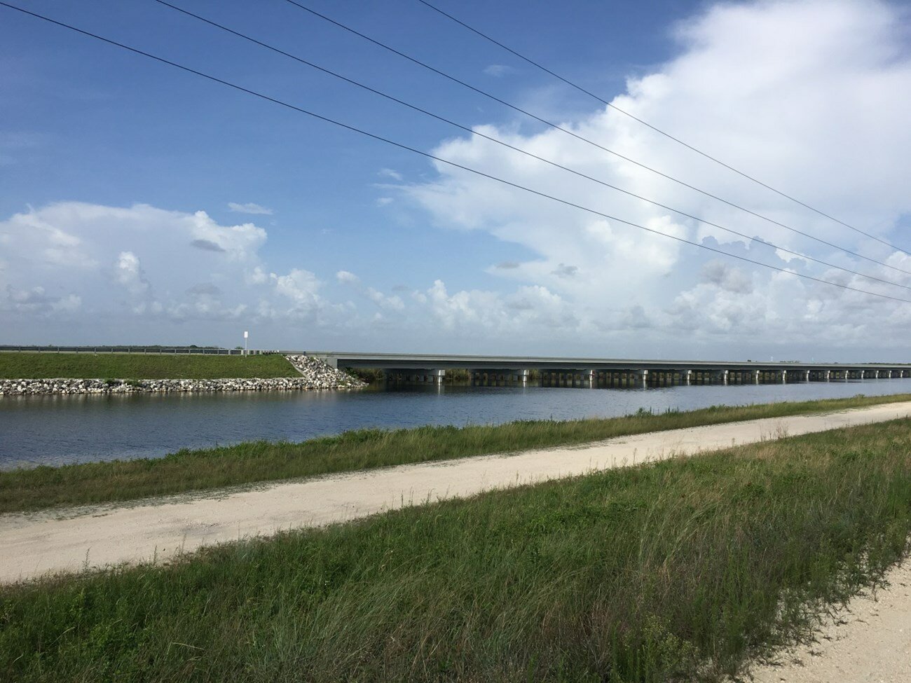
He said Lake Kissimmee has seen a dramatic drop due to the decrease in rainfall. As a result, SFWMD reduced the flow from the lake to the Kissimmee River from 1,400 cubic feet per second (cfs) to 1,100 cfs.
“As conditions progress, we’ll look to manage the river flows somewhere between 500 and 1200 cubic feet per second,” Mitnik said.
The reduction in flow will impact the restored portion of the river’s floodplain.
Director of Water Resources Lawrence Glenn said that at 1,400 cfs, the restored portion of the floodplain is inundated with water. With lower flows, the floodplain dries out.
Mitnik said if the El Niñoforecast brings the expected increase in rainfall this winter, the Kissimmee Chain of Lakes water levels should recover.
“It all depends on what Mother Nature sends us,” he added.
Since May 1, inflows into the Lake Okeechobee totaled about 1.3 million acre feet of water, Mitnik said. For the Caloosahatchee River, under 1 million acre feet of water flowed through the Franklin Lock to the Caloosahatchee estuary. Of that flow, about 180,000 acre feet came from Lake Okeechobee, with the bulk of the flow coming from local basin runoff.
The St. Lucie River received no flow from the lake so far this water year. SFWMD measures a Water Year from May 1 to April 30.
Glenn said water levels are still above the ecological envelope for Lake Okeechobee. The best levels for the lake’s ecology range from 15.5 feet at the start of the dry season to 12 feet at the start of the wet season. In 2023, Lake O was about 13.7 feet at the start of the wet season.
“We are officially out of the blue-green algae season,” said Glenn. He said water temperature plays a big role in algal bloom formation.
During the wet season, SFWMD monitors 32 water sampling sites on Lake Okeechobee bi-weekly. During the dry season, they monitor nine sites monthly. Year-round, Florida Department of Environmental Protection (FDEP) samples any sites where visible algal blooms are reported.
While the high lake levels were detrimental to some of the lake’s wildlife, Lake Okeechobee was a very good producer of snail kite productivity this year, said Glenn. More than half of the 128 documented snail kite nests were successful, he said. “The higher water level on the lake actually benefits the snail kites."
South of the lake, inflows into the Water Conservation Areas (WCAs) since May 1 totaled about 1.3 million acre feet of water, with no inflow from Lake Okeechobee.
Mitnik said most of the water in the WCAs came from direct rainfall. In addition to the inflows, the WCAs received about 2.3 million acre feet of direct rainfall.
On the east coast, more than 2 million acre feet of water went to tide.
Flow under the Tamiami Trail to Everglades National Park was just over 1 million acre feet.
Mitnik said WCA-3A has seen water levels come down in the past month, but it is still slightly above schedule.
He said the U.S. Army Corps of Engineers (USACE) asked the Florida Department of Transportation (FDOT) to keep the L-29 canal at 8.5 feet. (According to the National Park Service website, the L-29 canal runs alongside the Tamiami Trail. It was created when the roadway was built by excavating the underlying limestone.) Higher water levels in the L-29 allow more water to move under the Tamiami Trail by gravity flow under the existing raised portions and through the culverts. Mitnik said because there was no response from FDOT, canal stages were lowered to 8.3 feet as dictated by the calendar.
USACE also asked for a deviation from the federal government to keep the S-12A and B gates open longer. These water control structures are closed nine months of the year to protect the nesting area of a sub-population of the Cape Sable Seaside Sparrow, even though recent surveys have not found any sparrows in that area. USACE is also seeking a second deviation, which would allow them to manage the S-12s as well as two other water control structures based on conditions in the Central Everglades, rather than the calendar. This deviation would give USACE the option to reopen the four water control structures 90 days, nonconsecutive, anytime between Jan. 1 and July 14.
Mitnik said WCA-3A is coming down nicely now, but that will change in El Niño brings the expected rainfall. He said it’s important to go forward with the deviations “to have that tool in our basket, depending on what El Nino brings us in the coming months.”
“We have been about a foot above schedule for a long time,” said SFWMD Governing Board Member Ron Bergeron. He said the water control structures are important for moving water south.
“These gates are being shut no matter what the conditions are in the Central Everglades,” he said. “When you shut those gates, you are cutting off about 3,000 cfs that is naturally flowing, by gravity, to Florida Bay.”
He said naturally, 60-70% of the water from the Central Everglades flowed in east side of Shark River Slough. “When those gates are shut 9 months out of the year 100 percent of the water is being shifted and that’s very unnatural,” he explained.
He said SFWMD, USACE and Florida Fish and Wildlife Conservation Commission are “moving forward on this deviation where we can equalize these water levels with shared diversity and shared impacts through a global system.
“I’m looking forward to the day we’re not cutting off flow, by gravity to Florida Bay,” said Bergeron. “Tamiami Trail is a year and a half to maybe two years at the most to being completed. When these deer islands are under water, your turtle eggs, your snake eggs, all the things that next on these islands, they are totally destroyed.”
El Niño is a weather pattern associated with a band of warm ocean water in the central and east-central equatorial Pacific. This is accompanied by high air pressure in the western Pacific and low air pressure in the eastern Pacific.