Heavy rains over the weekend caused Lake Okeechobee to rise slightly despite the releases going south and west.
Join our family of readers for as little as $5 per month and support local, unbiased journalism.
Already have an account? Log in to continue. Otherwise, follow the link below to join.
Please log in to continue |
Heavy rains over the weekend caused Lake Okeechobee to rise slightly despite the releases going south and west.
On April 17, Lake Okeechobee was 14.26 feet above sea level. It was 14.22 feet on April 14.
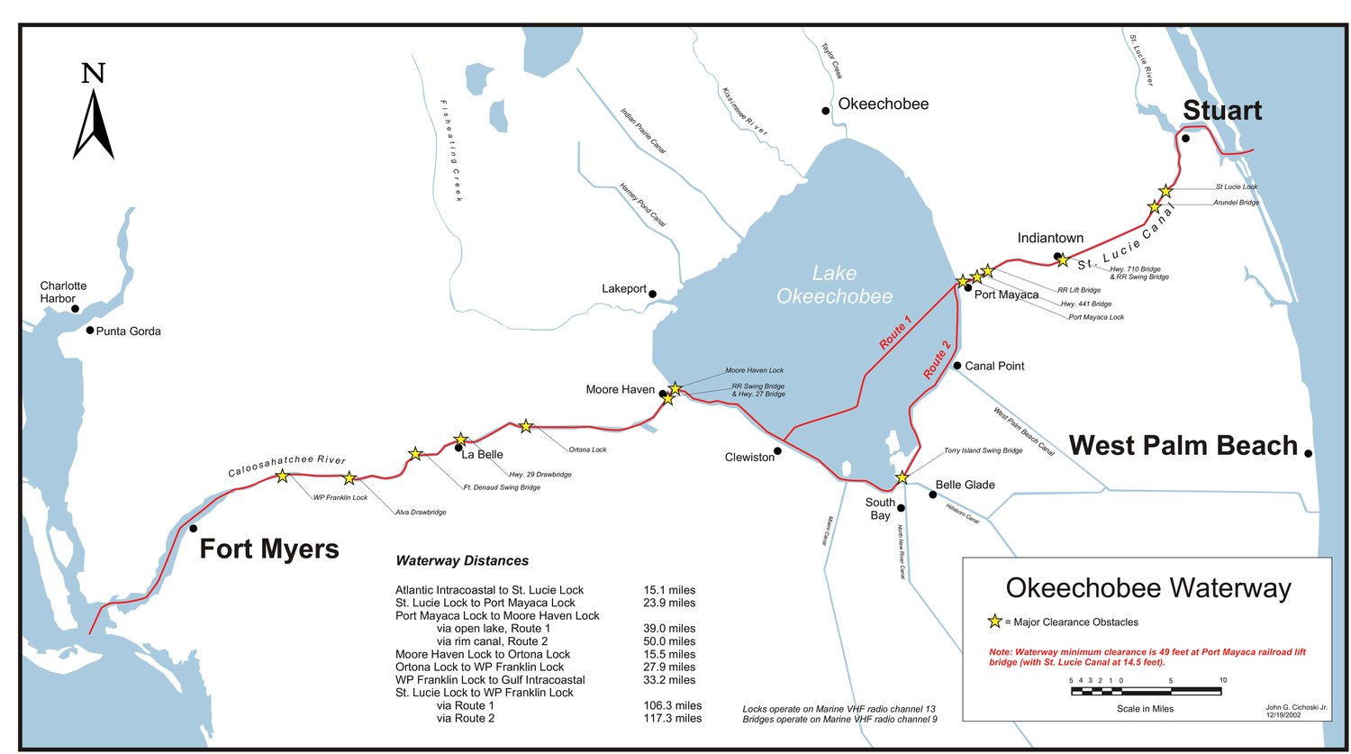
Heavy rainfall in Martin County on Sunday caused water to both backflow into Lake Okeechobee at Port Mayaca and flow east through the St. Lucie Lock into the St. Lucie River, 23.9 miles away.
The U.S. Army Corps of Engineers tries to keep the St. Lucie Canal at about 14 feet above sea level for navigation and water supply. Under normal conditions, when Lake Okeechobee is above 14 feet, water cannot backflow into the St. Lucie Canal. Flow through the structure is gravity-driven.
On Sunday, heavy rainfall pushed the canal level higher than the lake level, which allowed water to backflow into the Big O. At the same time, water managers were releasing water through the St. Lucie Lock to help relieve flooding in the basin. Flow into the lake at Port Mayaca averaged 110 cubic feet per second. Flow through the St. Lucie Lock into the St. Lucie River averaged 220 cfs.
On the same day, flow from the lake into the Caloosahatchee River averages 896 cfs. USACE has the target flow for the Caloosahatchee at 1,800 cfs, measured at the Franklin Lock. The Franklin Lock is 43.4 miles from the Julian Keen Jr. Lock at Moore Haven, where lake water enters the Caloosahatchee River. The flow at the Franklin Lock is a combination of lake releases and local basin runoff.