The U.S. Army Corps of Engineers Jacksonville District announces a Sea Level Change and Modeling Workshop...
Join our family of readers for as little as $5 per month and support local, unbiased journalism.
Already have an account? Log in to continue. Otherwise, follow the link below to join.
Please log in to continue |
JACKSONVILLE — The U.S. Army Corps of Engineers Jacksonville District announces a Sea Level Change and Modeling Workshop for the Biscayne Bay and Southeastern Everglades Ecosystem Restoration (BBSEER) Project Study on Wednesday, May 26.
The U.S. Army Corps of Engineers (USACE) is in the planning phase for the Biscayne Bay and Southeastern Everglades Ecosystem Restoration (BBSEER) Project, an important part of the Comprehensive Everglades Restoration Plan (CERP). The South Florida Water Management District (SFWMD) is our partner as the non-federal sponsor for this project.
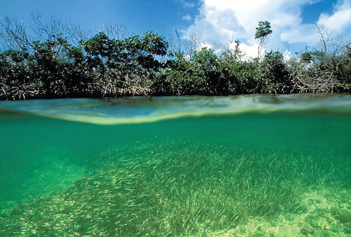
The BBSEER Study is focused on formulating plans to restore parts of the south Florida ecosystem in freshwater wetlands of the Southern Glades and Model Lands, the coastal wetlands and subtidal areas, including mangrove and seagrass areas, of Biscayne Bay, Biscayne National Park, Manatee Bay, Card Sound and Barnes Sound. These areas have been affected by over-drainage and by large-volume freshwater releases from canals, such as the C-111 Canal. As part of the study, the USACE will publish information in a Draft Integrated Project Implementation Report (PIR) and National Environmental Policy Act (NEPA) document.
Please join us for the BBSEER Sea Level Change and Modeling Virtual Workshop on Wednesday, May 26, 2021, from 9 a.m. to noon.
Meeting Instructions:
• This will be a virtual meeting. Unless you are calling in only and will not be viewing the virtual meeting, please sign in on the virtual meeting website first and, when prompted, select the audio connection “Call Me” option. This will allow the meeting to call you directly and may operate better than if you opt to dial in.
• At the beginning of the meeting, please sign in via chat and include your first and last name, agency or group affiliation if applicable, and email. PDT members should also include the PDT designation.
• Please mute your phone unless you are speaking, and do not put the call on hold.
• PDT members should provide their full name and the agency or group that they represent when speaking.
• Members of the public will have an opportunity to provide comments during the specified public comment periods.
BBSEER Sea Level Change and Modeling Workshop - May 26, 2021
Wednesday, May 26, 2021 9 a.m. to noon
https://usace1.webex.com/meet/april.n.patterson
Call In: 844-800-2712 Access Code: 199 320 6340# #
Purpose:
• Share the BBSEER Strategy for Evaluating Sea Level Change
• Welcome questions, information, and examples from experts working in the climate and sea level change space and learn about local efforts for resilience and climate preparedness
Agenda:
• The following topics will be presented for discussion and comment during the workshop:
• BBSEER Sea Level Change (SLC) Strategy
• NOAA Tide Gauge Selection
• USACE Sea Level Change Curves
• Gulf Stream/Florida Current
• Existing Conditions Baseline
• Future Without Project with Sea Level Change
• BBSEER Sea Level Change Formulation Considerations: Adaptability, Measures, and Pilot Studies
Modeling Strategy
• Coastal Structures, Level of Service
Similar to other CERP studies where multiple components are combined into one planning effort and Project Implementation Report, the BBSEER Study will also include more than one CERP component. The BBSEER Study will begin with six CERP components identified in the 1999 study known as the “Restudy” or “Yellow Book.” These components include:
• Biscayne Bay Coastal Wetlands
• Biscayne Bay Coastal Canals
• C-111N Canal Project
• South Miami Dade County Reuse
• West Miami Dade Reuse
• North Lake Belt
For additional information regarding the project, please visit the project webpage www.saj.usace.army.mil/BBSEER
View the Biscayne Bay and Southeastern Everglades Ecosystem Restoration Project (BBSEER) Fact Sheet at https://usace.contentdm.oclc.org/utils/getfile/collection/p16021coll11/id/4899
The Everglades ecosystem encompasses a system of diverse wetland landscapes that are hydrologically and ecologically connected across more than 200 miles from north to south, and across 18,000 square miles of southern Florida. In 2000, the U.S. Congress authorized the federal government, in partnership with the state of Florida, to embark upon a multi-decade, multi-billion dollar Comprehensive Everglades Restoration Plan (CERP) to further protect and restore the remaining Everglades ecosystem while providing for other water-related needs of the region.
The BBSEER Study is the first CERP Study to incorporate the evaluation of sea level change early in the planning process and is the next important step for CERP.